- साइटम्याप
- 13 माघ 2082, सोमवार नेपाल सम्बत:
सिट संख्या:
48
जम्मा शुल्क:
Rs. 45,000.00
कार्यक्रम विवरण:
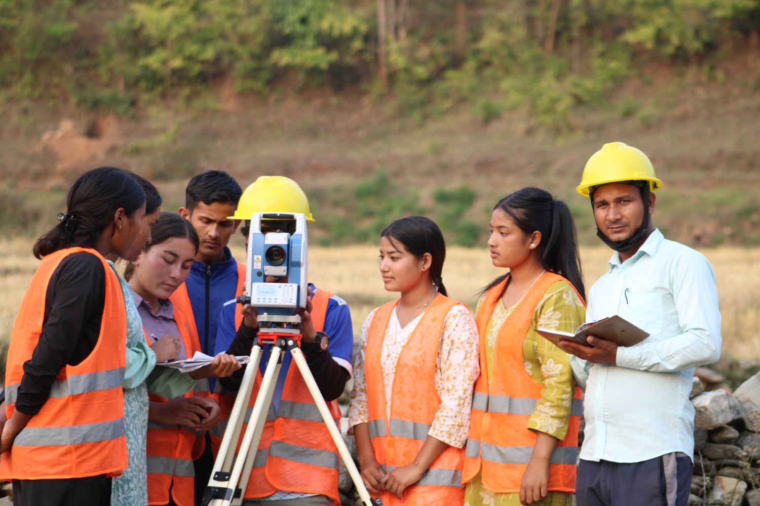
Graduates of this program are trained to work as Survey Technicians, GIS Assistants, Cartographers, and Junior Engineers in both government and private sectors.
The main objectives of this diploma program are:
To provide students with knowledge and skills in land surveying, remote sensing, GIS (Geographic Information Systems), and photogrammetry.
To prepare competent technical manpower for land administration, mapping, and engineering projects.
To enable graduates to work in the fields of cadastre, construction surveying, and topographical mapping.
To promote self-employment opportunities in surveying and geomatics services.
Students must have passed the Secondary Education Examination (SEE) or equivalent with minimum GPA as required by CTEVT (usually 1.6 or above).
Preference is given to students with strong performance in Mathematics and Science.
Admission is based on an entrance examination conducted by CTEVT.
3 years (6 semesters)
Each year consists of both theoretical and practical courses.
Includes fieldwork, laboratory practice, and project work.
Some of the major subjects taught in the Diploma in Geomatics Engineering are:
Mathematics and Applied Science
Engineering Mathematics, Physics, Chemistry
Surveying & Mapping
Plane Surveying
Geodetic Surveying
Topographic Mapping
Geoinformatics
GIS (Geographic Information Systems)
Remote Sensing
Photogrammetry
Engineering & Computer Applications
AutoCAD, Civil 3D, GIS software (ArcGIS, QGIS)
Computer Programming (basic level)
Land and Cadastral Surveying
Legal and technical aspects of land measurement
Cadastral mapping for land ownership records
Professional Practice
Project work
Internship in survey offices or construction companies
Graduates can work in various sectors:
Government sector:
Survey Department, Land Revenue Offices, Cadastral Offices, Department of Roads, Irrigation, Forestry, and Local Government Offices.
Private sector:
Construction companies, consulting firms, engineering survey companies, GIS and mapping firms.
NGOs/INGOs:
Working in projects related to land management, urban planning, environment, and disaster management.
Self-employment:
Running private surveying, mapping, or GIS services.
After completing the program, students are awarded the “Diploma in Geomatics Engineering” certificate from CTEVT.
Graduates are eligible to register with the Nepal Engineering Council (NEC) as a Sub-Engineer/Junior Engineer.
